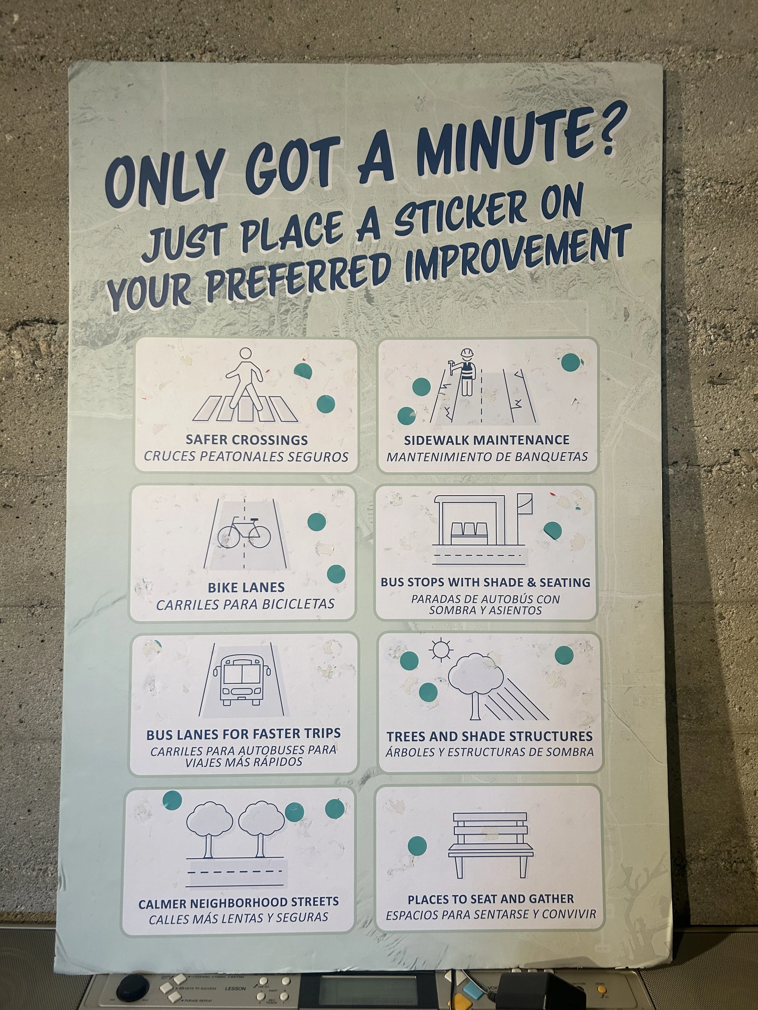
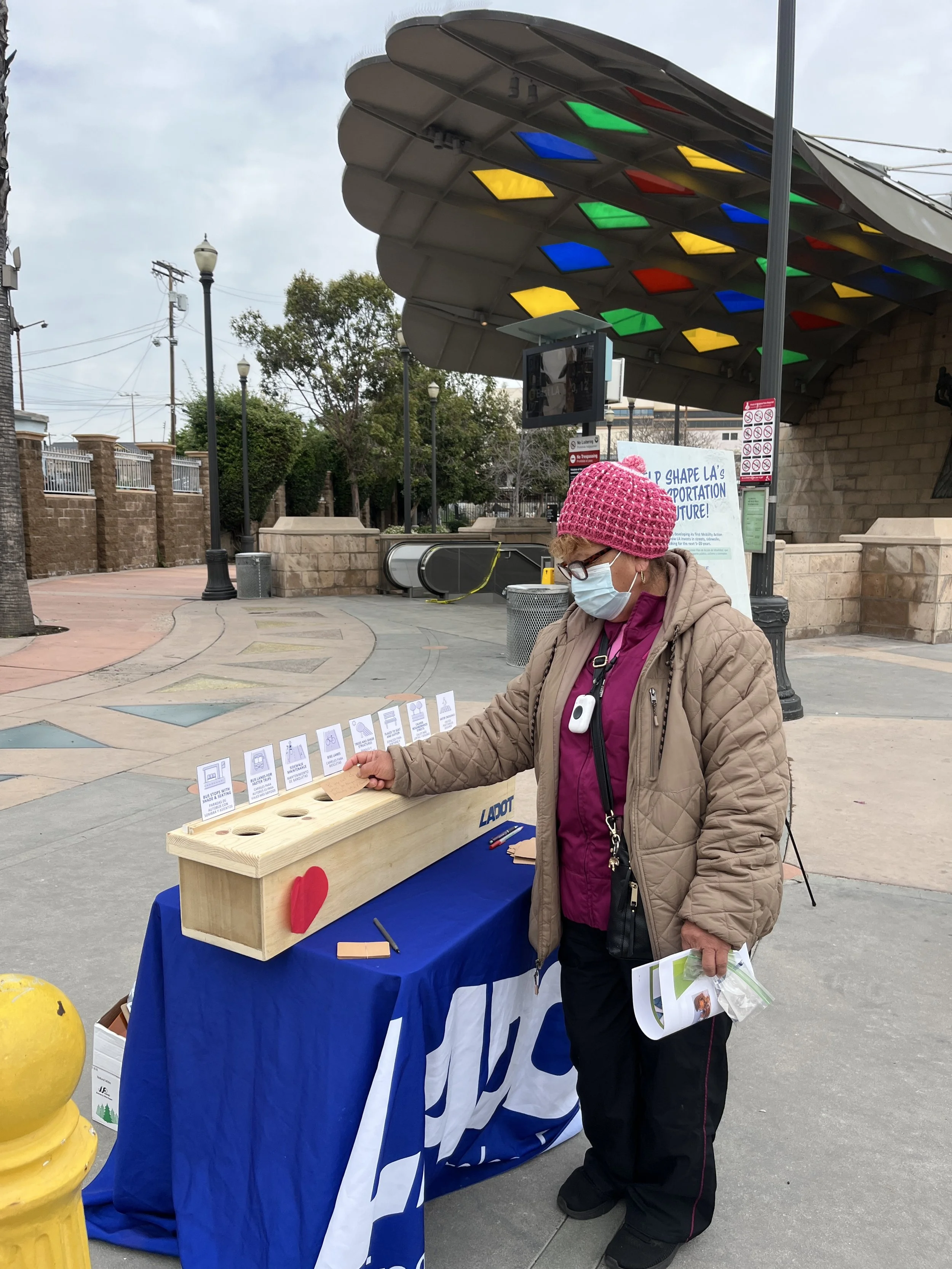
Equity Priority Areas


Equity Priority Areas (EPAs) are Los Angeles Communities with greater transportation needs, identified using social, economic, and environmental data. Prioritizing these areas ensures investments address inequities and support underserved residents.

Central LA

South LA

Eastside Communities

Harbor Area

Northeast Valley

Existing UBM Pilot Area
South LA
EPA 2 — UBM Pilot Program

South LA

Includes neighborhoods such as Watts, Vermont-Slauson, Vermont Square, and Westmont. South LA is the location of the current UBM pilot program and includes Council Districts 8, 9, and 15.

This Equity Priority Area is characterized by a young population, strong Latino cultural presence, and some of the highest levels of economic need in Los Angeles.

Council Districts 8, 9 & 15
Community Profile Highlights
Languages Spoken 67% Spanish at home · 25% English only
Race / Ethnicity 78% Hispanic/Latino · 17% Black · 2% White, Asian, or Native American
Foreign-Born Residents 27% foreign-born non-citizens, all from Latin America
Pilot Area Status Current location of the UBM Pilot Program
$56K
Median Household Income
26%
Poverty Rate
32
Average Age
78%
Hispanic / Latino
17%
Black Residents
27%
Foreign-Born Non-Citizens

Key Takeaways

  • South LA has the youngest average age of any Equity Priority Area, with residents averaging 32 years old compared with 38 citywide.
  • The area is predominantly Latino (78%) and has the highest share of Black residents (17%) among all Equity Priority Areas.
  • South LA faces the highest poverty rate among the Equity Priority Areas at 26%, compared with 15% citywide.
  • Median household income is substantially below the citywide average ($56,189 versus $81,571).
location_on Equity Priority Area: South LA handshake Partner Org: Trust South LA

WHO WE HEARD FROM

350

responses from
South LA

WHERE WE ENGAGED RESIDENTS

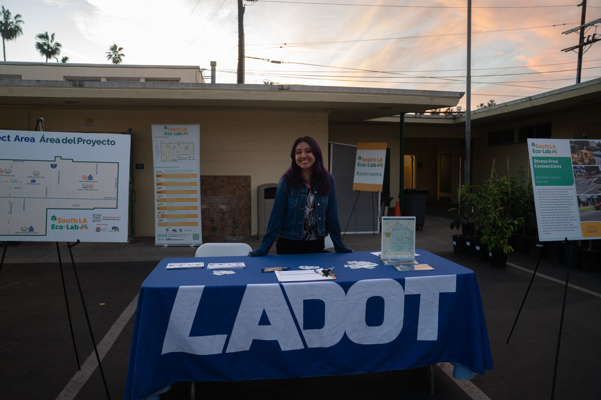
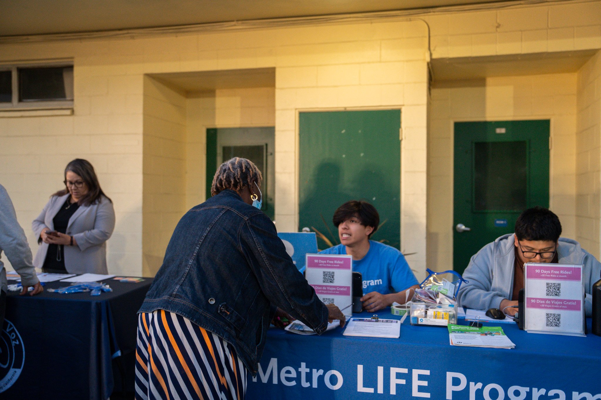
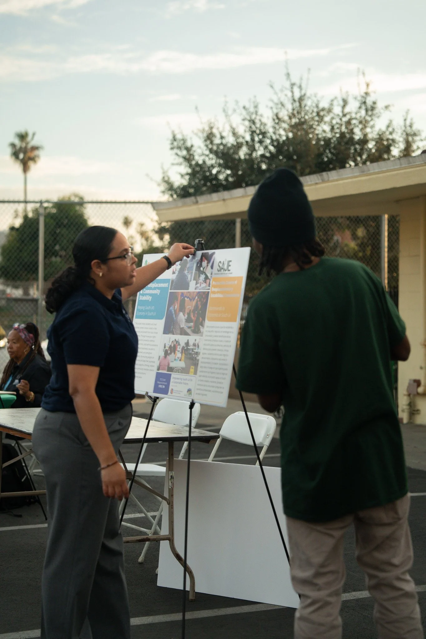
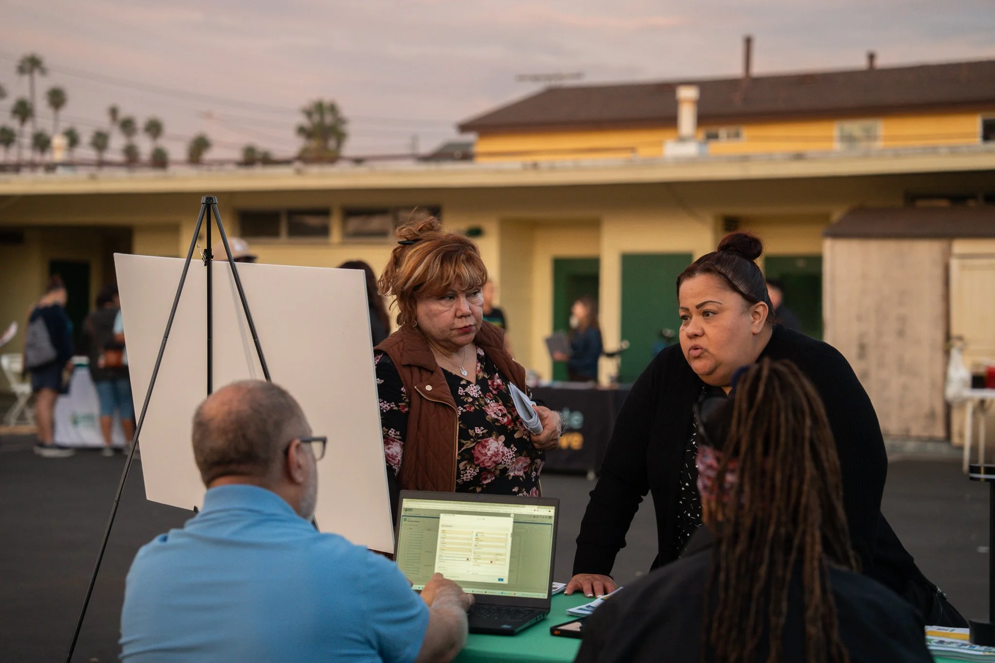
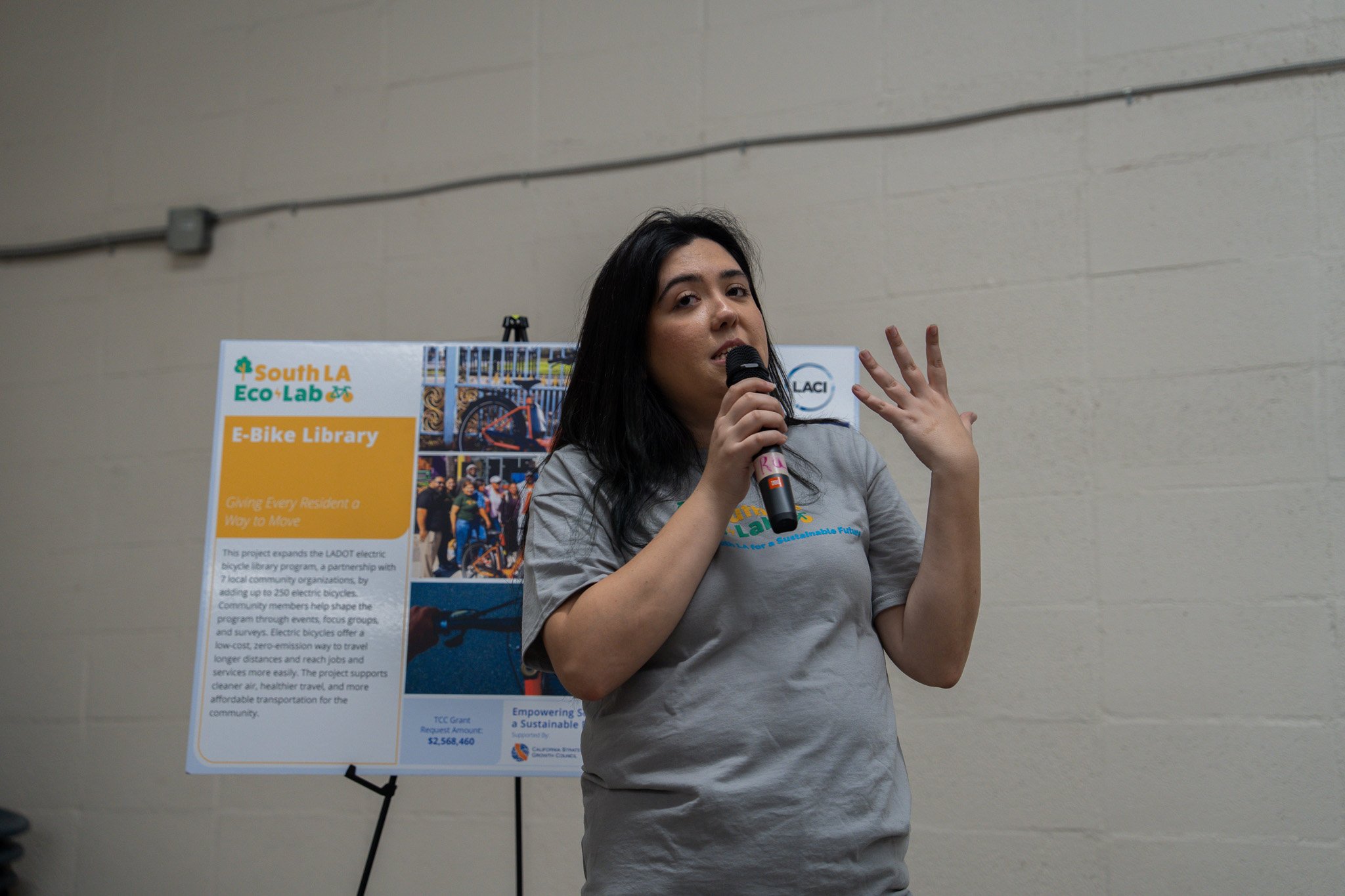
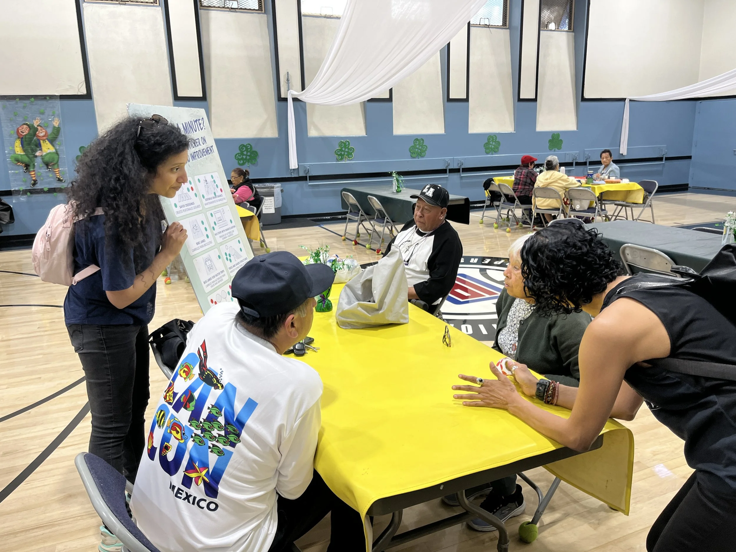
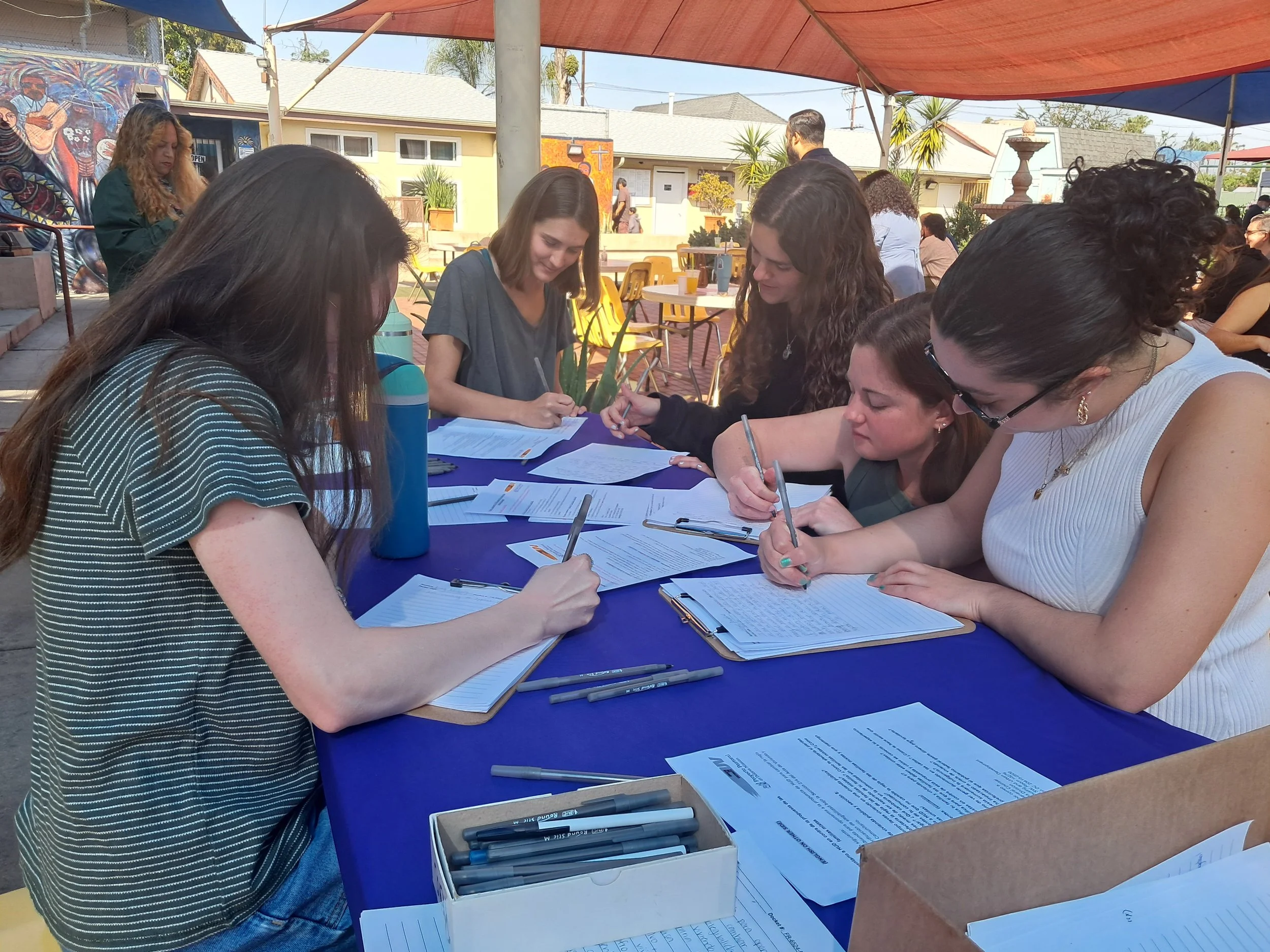
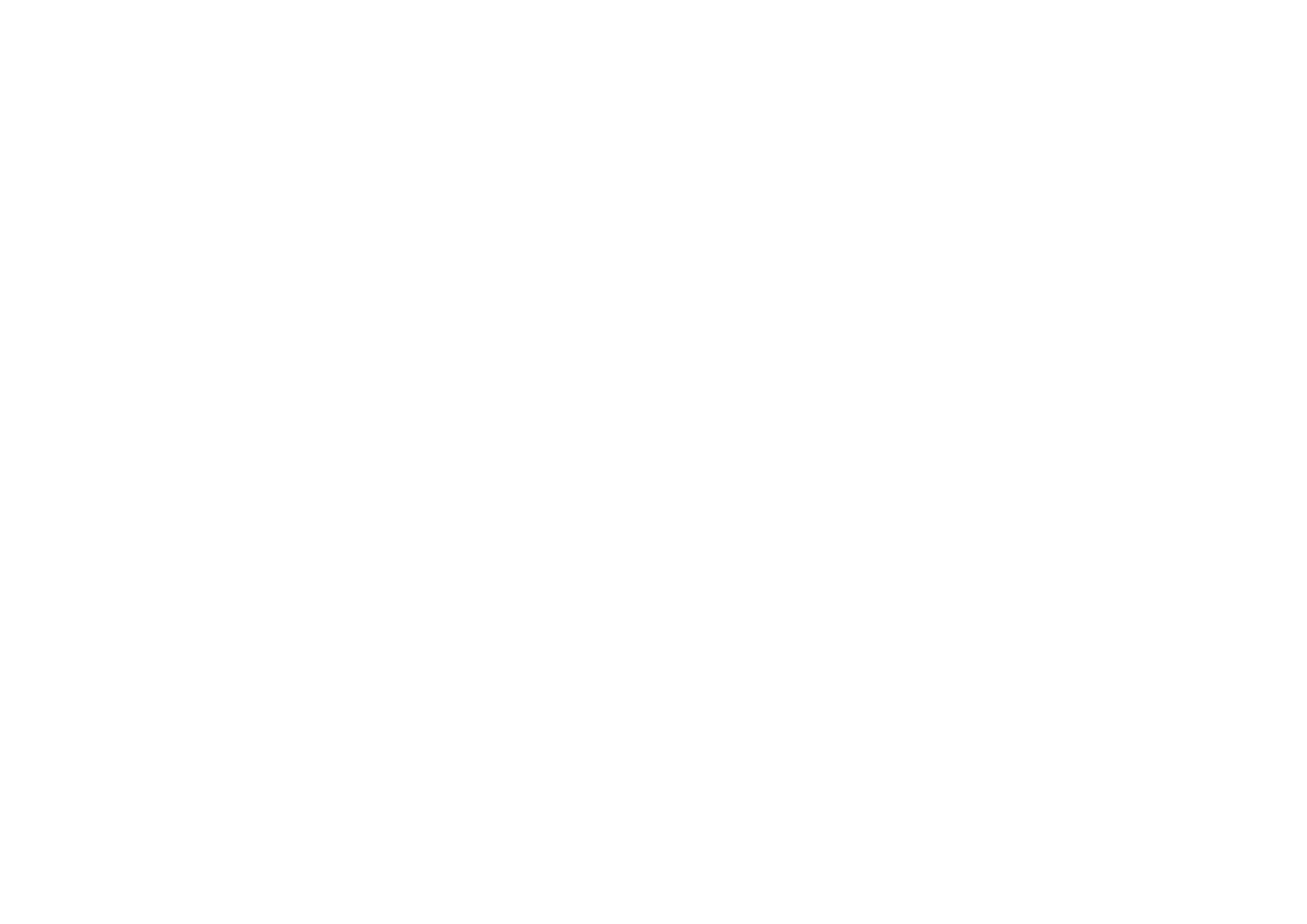
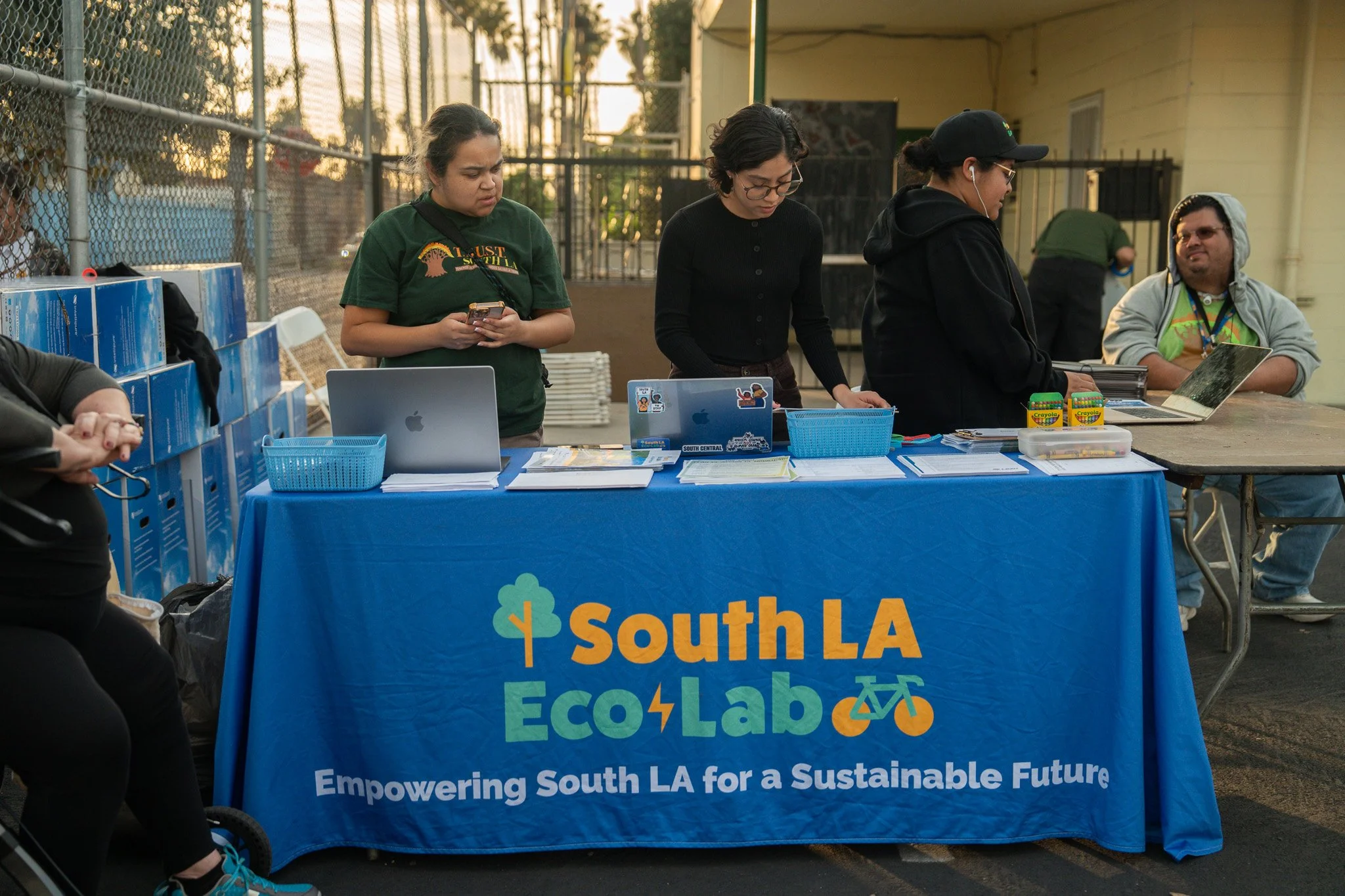
  • location_on South LA Eco-Lab Community Meeting
  • location_on Esperanza Community Housing
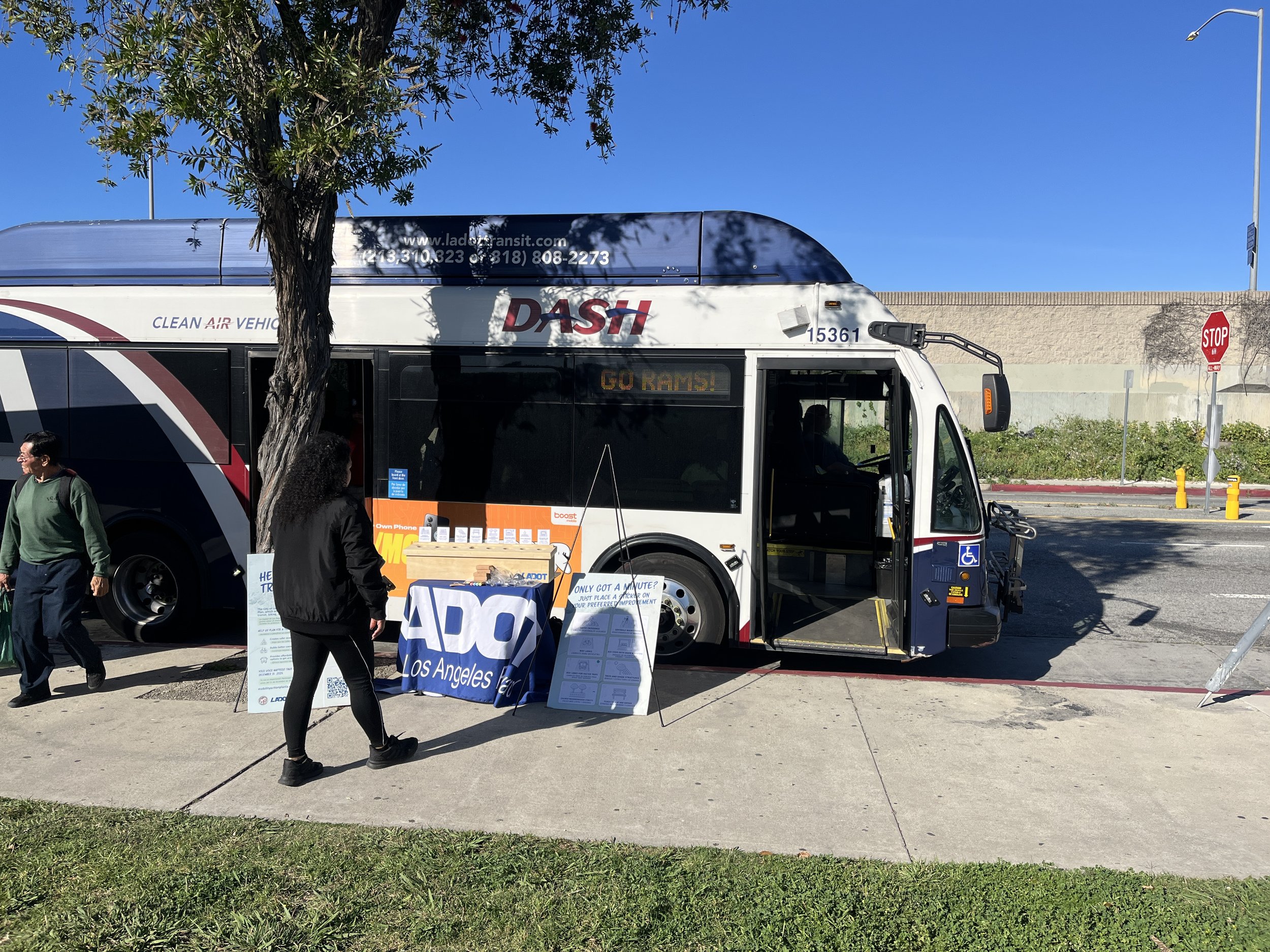
  • location_on Watts Historic Train Station
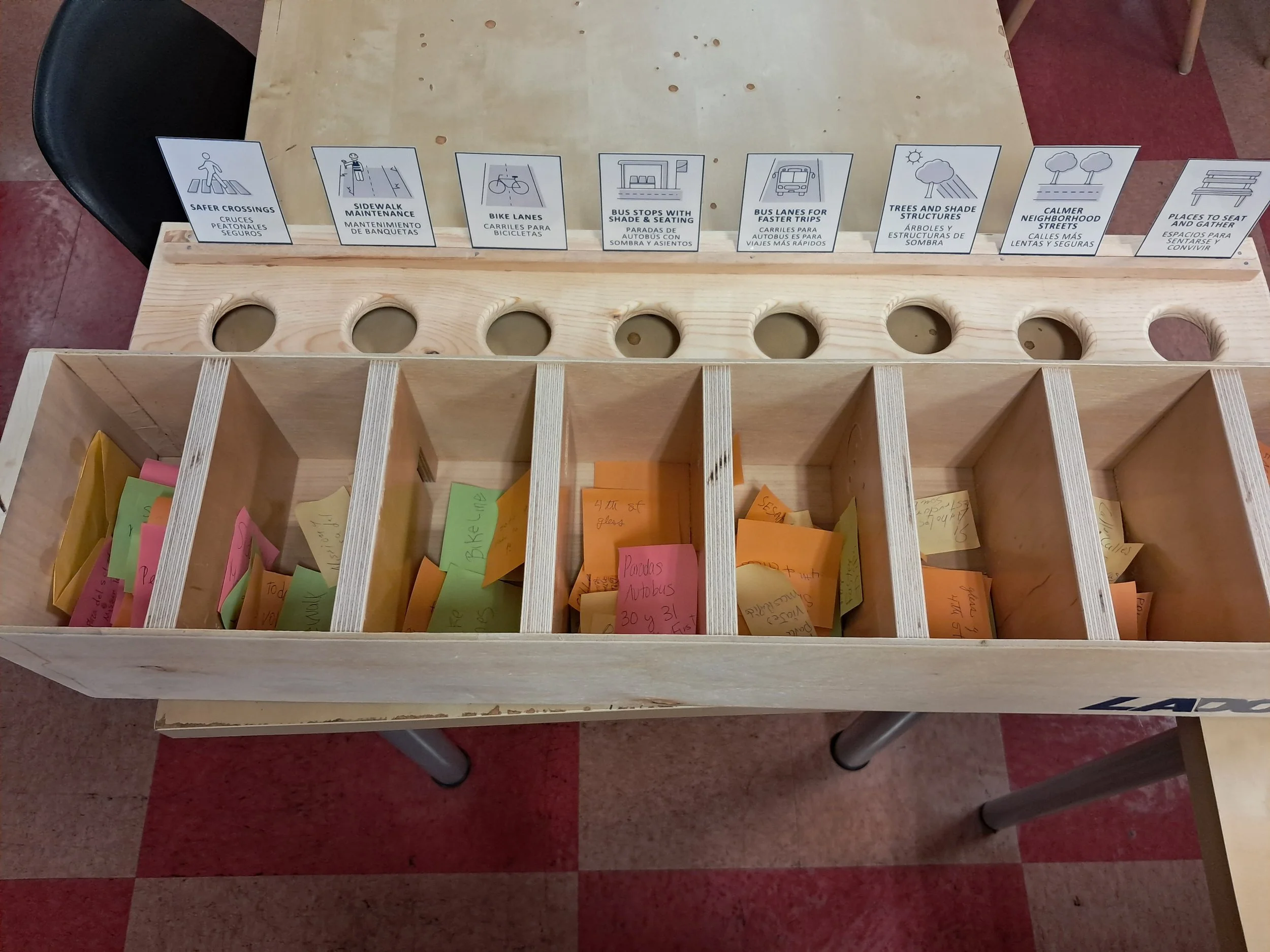
Mobility Investment Priorities
  • directions_bus Transit
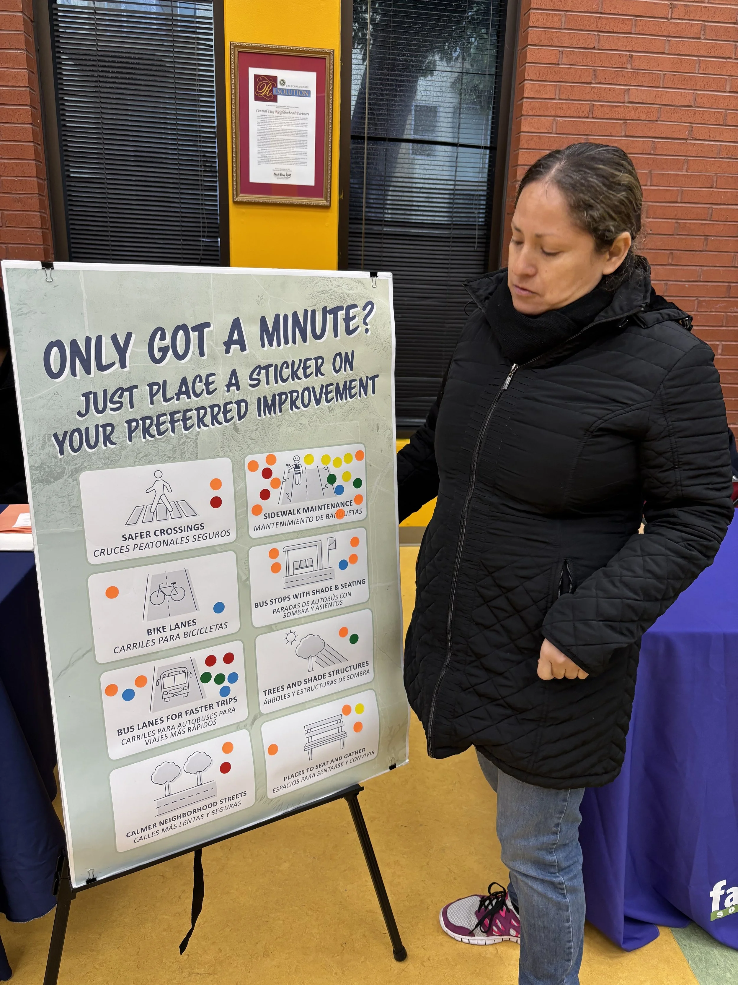
  • transfer_within_a_station Sidewalks & Crosswalks
  • park Shade & Public Space Enhancements
Top Mobility Challenges
  • directions_walk Limited infrastructure for walking, biking and transit
  • verified_user Cleanliness, cost & traffic safety
event Community Engagement Events
  • location_on
    South LA Eco-Lab
    Vermont-Slauson
  • location_on
    Esperanza Community Housing
    University Park
  • location_on
    Watts Historic Train Station
    Watts
  • “A bike path in Watts is very important. Since there is no bike path, cyclists take to the sidewalk and go very fast.”

  • “Honestly, it feels like this area has been underserved compared to the rest of Los Angeles. Even though our community is organized, it feels like Watts hasn't been a priority for the government.”

  • “The most frustrating thing is that because I have my back issues after a while I want to get to the bus stop I do want to sit down for a bit and many of these bus stops have taken away the bus stop seating areas.”

  • “I think the city should invest in cleaning again and security. More police attention so that one can walk in a safe Los Angeles.”

Central LA

EPA — Central LA

Central LA

Includes neighborhoods like Koreatown, Westlake, Pico-Union, and MacArthur Park. This Equity Priority Area spans Council Districts 1, 5, 8, 10, and 13.

Central LA is the most densely populated EPA, characterized by a large renter population, strong immigrant communities, and some of the highest transit use in the city.

Council Districts 1, 5, 8, 10 & 13
Neighborhood Snapshot
Median Household Income $55,336 (citywide: $81,571)
Poverty Rate 23% (citywide: 15%)
Average Age 36 (citywide: 38)
Languages Spoken 48% Spanish · 10% Korean · 27% English only
Race / Ethnicity 56% Hispanic/Latino · 21% Asian · 12% White · 9% Black
Foreign-Born Residents 29% foreign-born non-citizens (citywide: 17%)
$55K
Median Household Income
23%
Poverty Rate
36
Average Age
56%
Hispanic / Latino
21%
Asian
29%
Foreign-Born Non-Citizens

Key Takeaways

  • Central LA is the most densely populated Equity Priority Area, with over 33,000 residents per square mile.
  • The area has the highest renter share of any EPA at 88%.
  • Transit use is more than three times the citywide average (19% vs. 6%).
  • Central LA is a highly diverse, immigrant-rich region with strong Spanish and Korean language presence.
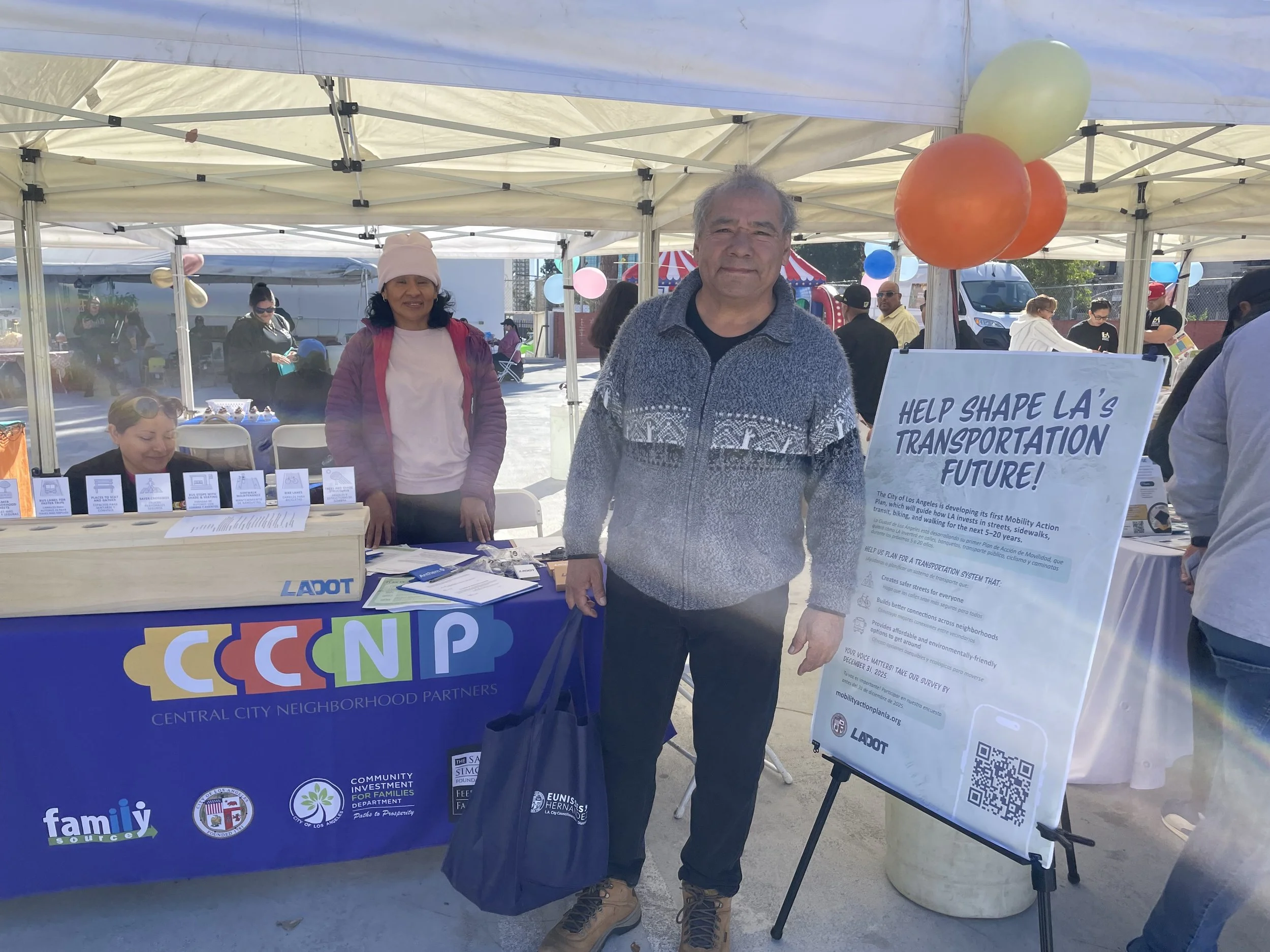
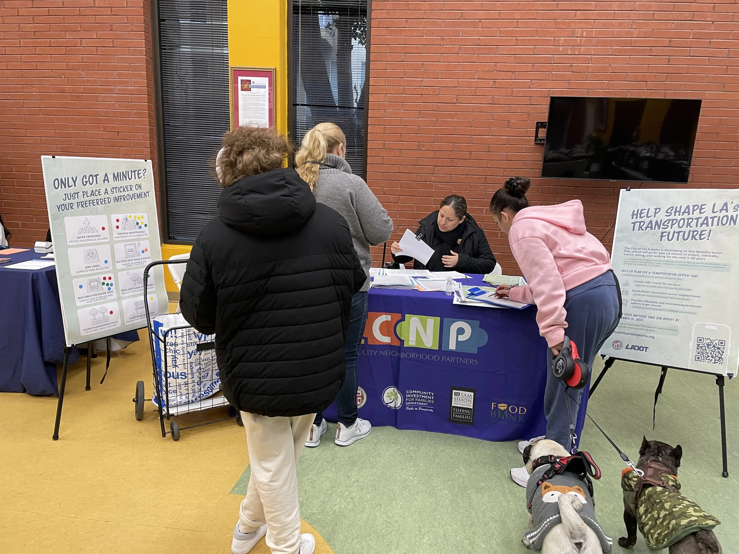
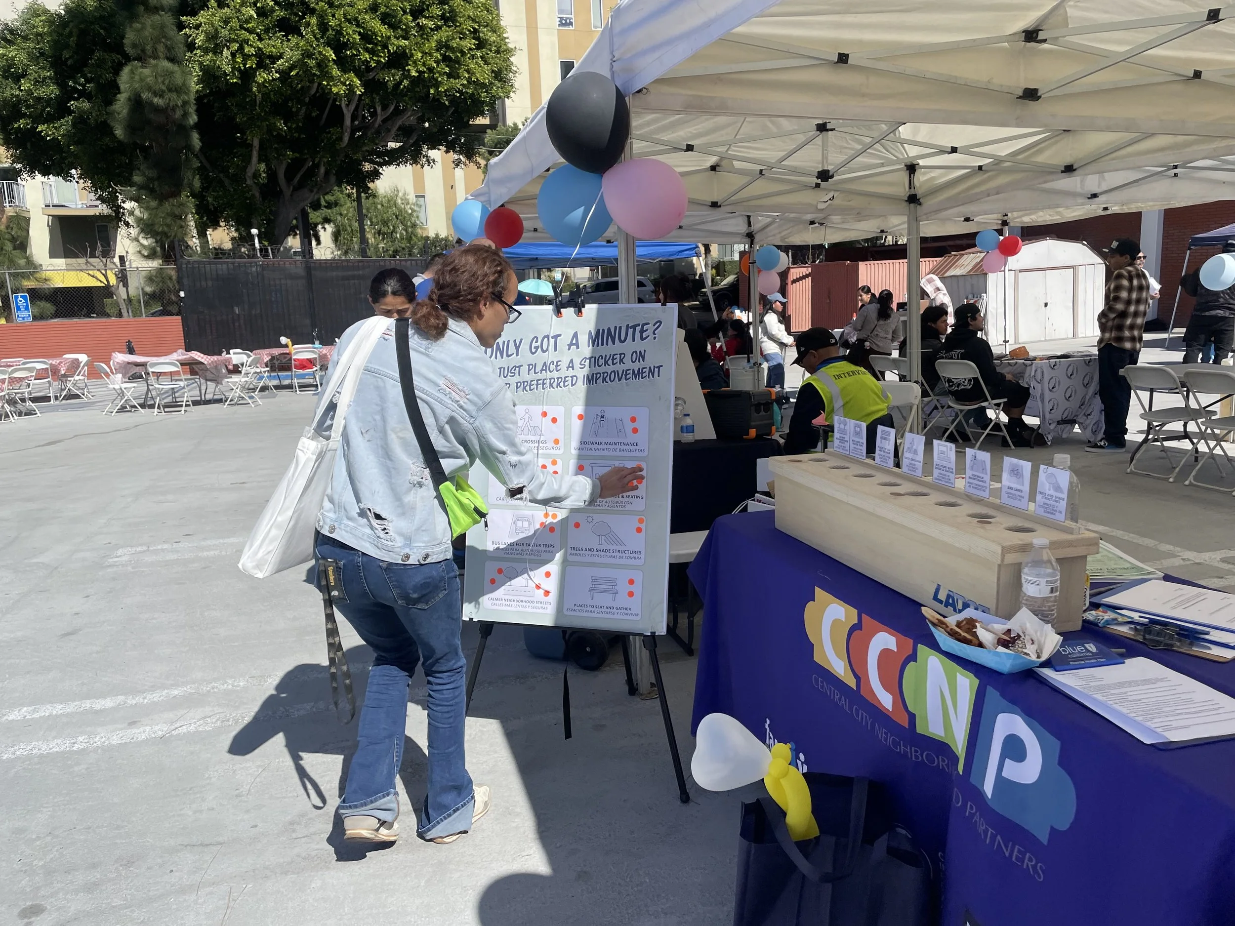
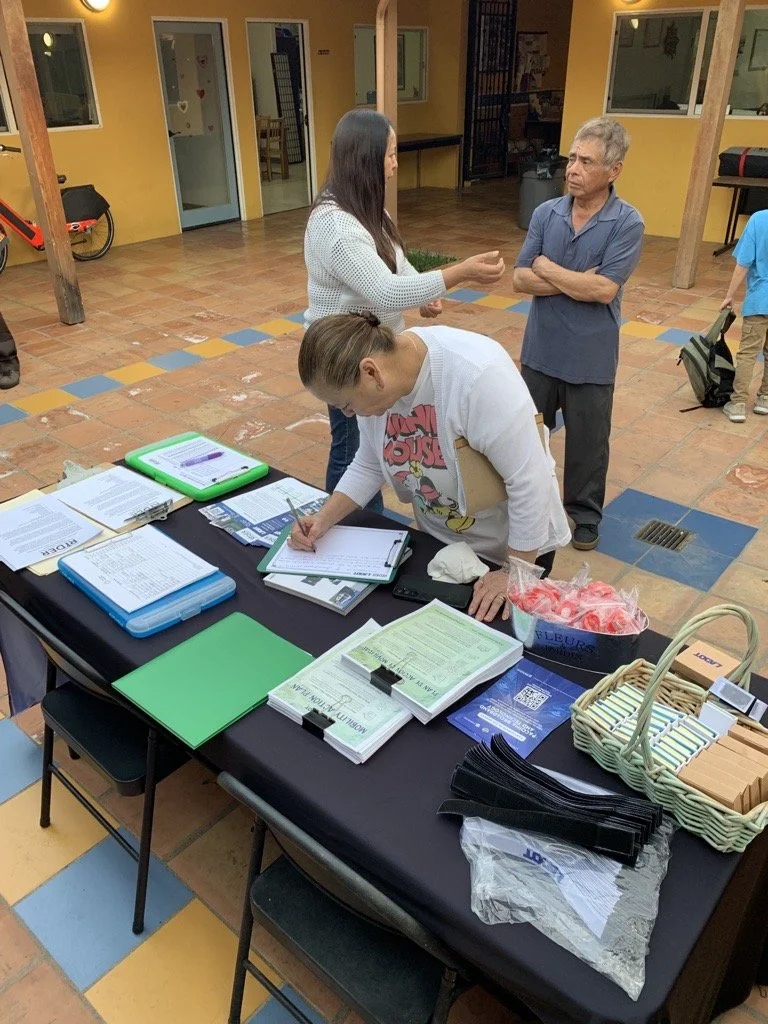
location_on Equity Priority Area: Central LA handshake Partner Org: CCNP

Who We Heard From

390
responses from
Central LA

Where We Engaged Residents

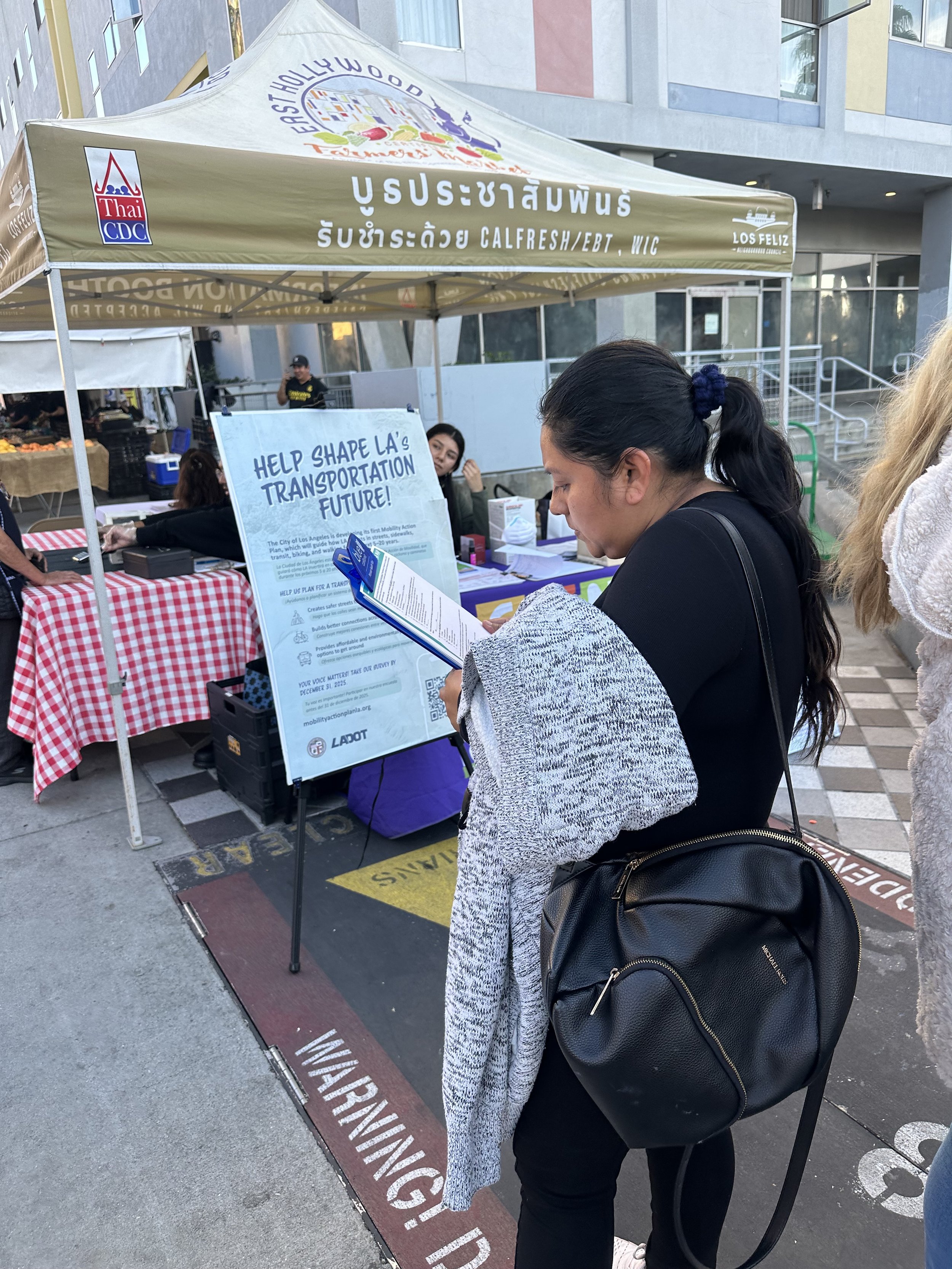
  • location_on East Hollywood Farmers Market
  • location_on Wilshire/Western Metro Station
  • location_on MacArthur Park
Mobility Investment Priorities
  • 1 Transit
  • 2 Bike Enhancements
  • 3 Shade & Public Space Enhancements
Top Mobility Challenges
  • 1 Limited Infrastructure for Walking, Biking and Transit
  • 2 Traffic Safety
  • 3 Cleanliness
event Community Engagement Events
  • location_on
    East Hollywood Farmers Market
    East Hollywood
  • location_on
    Wilshire / Western Metro Station
    Koreatown
  • location_on
    MacArthur Park
    Westlake
  • “There's insecurity and the streets are in bad shape.”

  • “More accessibility for people with disabilities, and also that they check the streets to make sure they are level. Fix the sidewalks that are damaged by trees.”

  • “More bike lanes would reduce the number of cars. More bicycle use would improve transportation and traffic.”

Northeast Valley

Neighborhood Snapshot

Northeast Valley

Includes neighborhoods like Pacoima, Sylmar, Van Nuys, Arleta, Sun Valley, and Panorama City.

Northeast Valley is the largest Equity Priority Area by population, with over 613,000 residents.

Council Districts 2, 3, 6, 7 & 12
Community Profile Highlights
Languages 56% Spanish at home · 25% English only
Race / Ethnicity 69% Hispanic/Latino · 16% White · 9% Asian · 4% Black/Native American/NHPI
Foreign-Born Residents 21% foreign-born non-citizens, 18% from Latin America (citywide: 17%)
Population Largest EPA by population, with over 613,000 residents
$79,038
Median Household Income
16%
Poverty Rate
36
Average Age
69%
Hispanic / Latino
16%
White Residents
21%
Foreign-Born Non-Citizens

Key Takeaways

  • Northeast Valley is the largest Equity Priority Area by population, with over 613,000 residents.
  • 70% of residents drive alone to work, well above the citywide rate of 62%.
  • Northeast Valley has some of the lowest transit access to jobs of any Equity Priority Area.
  • Median household income ($79,038) is slightly below the citywide average of $81,571, while poverty levels remain close to the citywide rate (16% versus 15%).
location_on Equity Priority Area: NE Valley handshake Partner Org: Pacoima Beautiful

WHO WE HEARD FROM

231

responses from
NE Valley

WHERE WE ENGAGED RESIDENTS

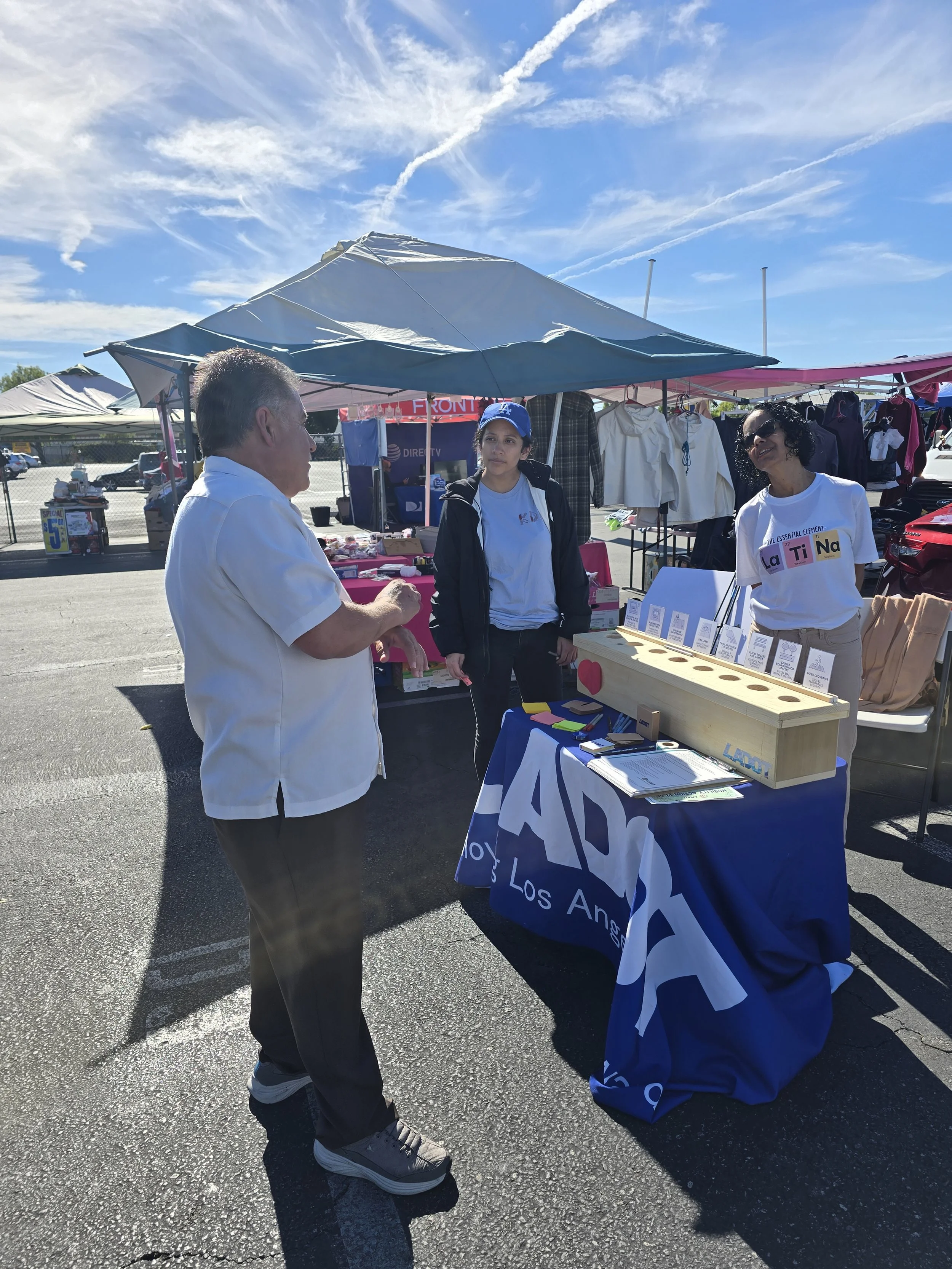
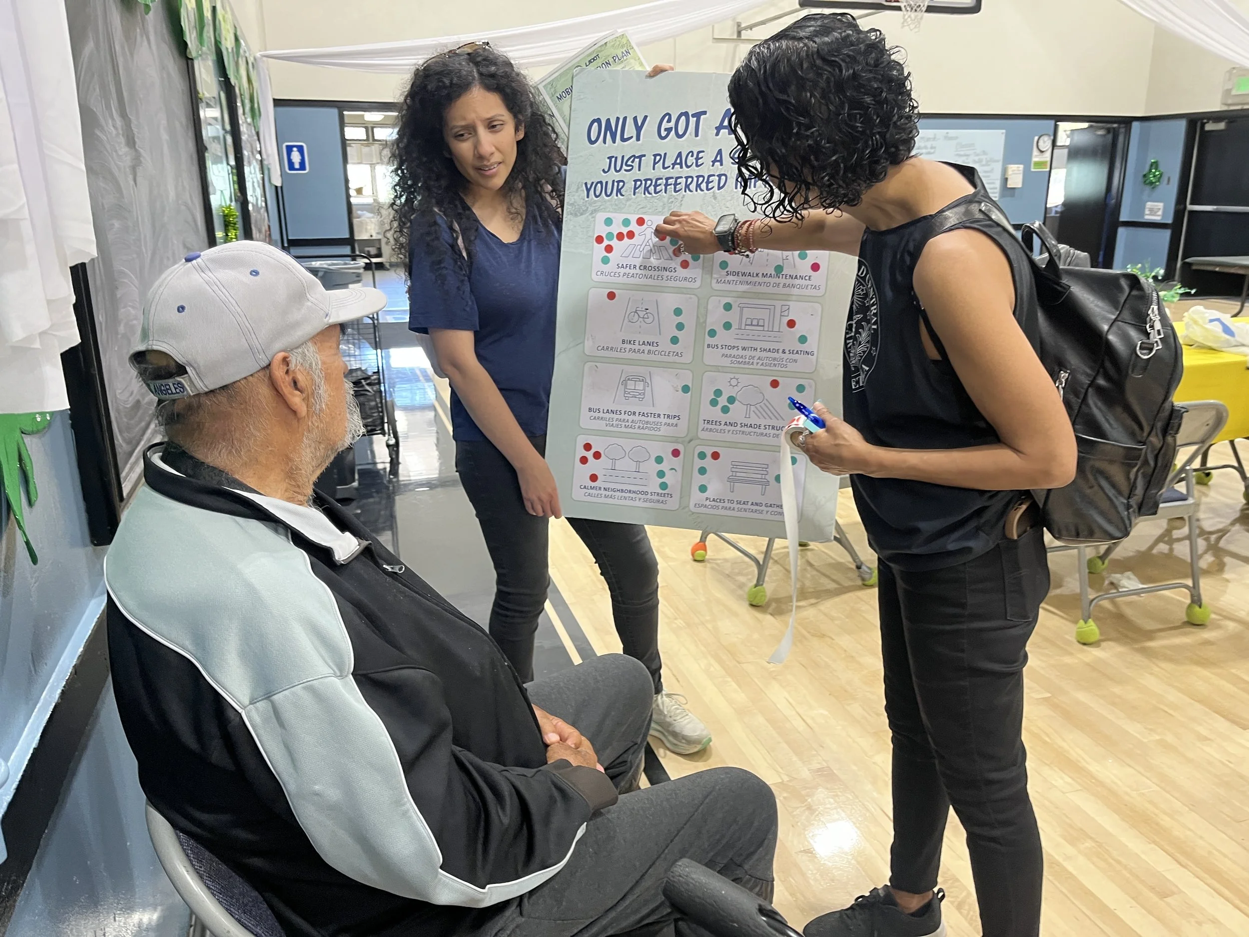
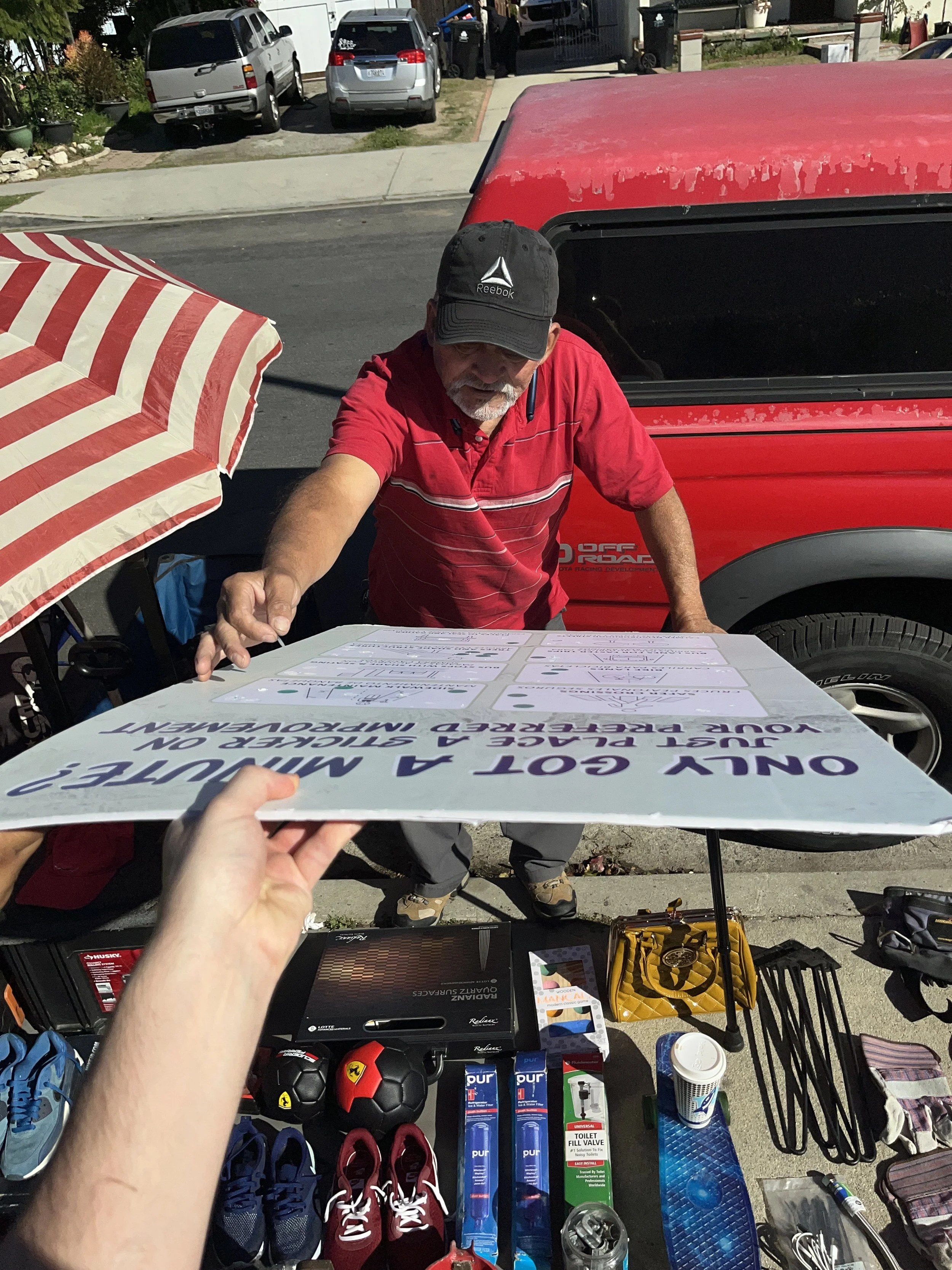
  • location_on San Fernando Swap Meet
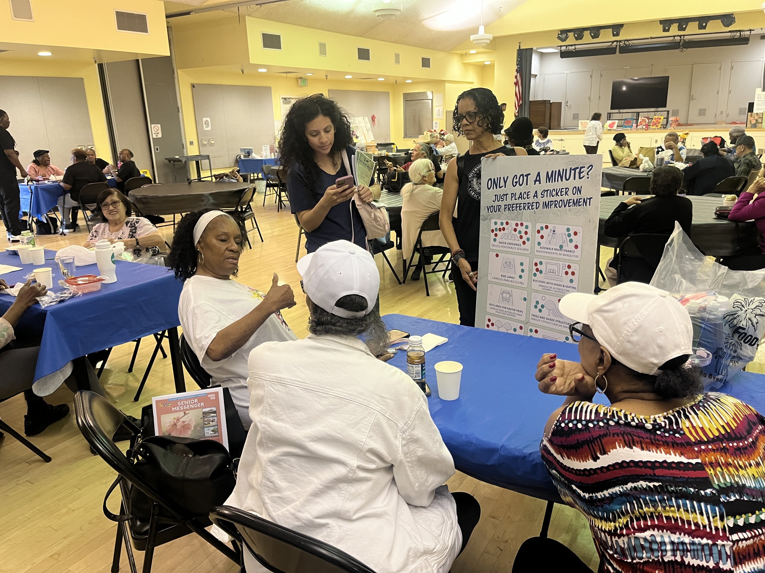
  • location_on Mid Valley Senior Center
  • location_on Alicia Broadous-Duncan Senior Center
Mobility Investment Priorities
  • directions_bus Transit
  • transfer_within_a_station Sidewalks & Crosswalks
  • directions_bike Bike Enhancements
Top Mobility Challenges
  • warning Traffic Safety
  • directions_walk Limited Infrastructure for Walking, Biking and Transit
  • payments Cost
event Community Engagement Events
  • location_on
    San Fernando Swap Meet
    Pacoima
  • location_on
    Mid Valley Senior Center
    Panorama City
  • location_on
    Alicia Broadous-Duncan Senior Center
    Pacoima
  • “Sometimes one is left waiting... for example, the DASH passes here and sometimes one is left waiting half an hour for the DASH.”

  • “Suddenly, the sidewalk disappears. Specifically on one street, Owensmouth, which leads directly to Lanark Park; there are moments when I have to start walking in the street because the sidewalk suddenly vanishes.”

  • “The frequency of public transportation is an issue. Not all stops have shade or a roof. There are stops where there is only a sign, and people have to wait standing up. In the summer, especially, that is very, very complicated.”

Eastside Communities

Eastside Communities

Eastside Communities

Includes neighborhoods like Boyle Heights, Lincoln Heights, and El Sereno.

Eastside Communities reflect a diverse and multigenerational population with strong neighborhood identities and longstanding community networks.

Council Districts 1, 9, 13 & 14
Neighborhood Snapshot
Languages 48% Spanish at home · 33% English only
Race / Ethnicity 60% Hispanic/Latino · 16% Asian · 15% White · 7% Black · 2% Native American
Foreign-Born Residents 21% foreign-born non-citizens, 15% from Latin America (citywide: 17%)
Accessibility Highest rate of disabled residents among the EPAs (14% vs. 11% citywide)
$69,027
Median Household Income
22%
Poverty Rate
37
Average Age
60%
Hispanic / Latino
16%
Asian Residents
21%
Foreign-Born Non-Citizens

Key Takeaways

  • Eastside Communities have the highest rate of disabled residents among the Equity Priority Areas, with 14% of residents reporting a disability compared with 11% citywide.
  • Twelve percent of households lack home internet access, twice the citywide rate of 6%.
  • Residents face some of the city's highest transportation cost burdens.
  • Median household income ($69,027) remains substantially below the citywide average of $81,571, while poverty rates are significantly higher (22% versus 15% citywide).
location_on Equity Priority Area: Eastside handshake Partner Org: Proyecto Pastoral

WHO WE HEARD FROM

348

responses from the
Eastside

WHERE WE ENGAGED RESIDENTS

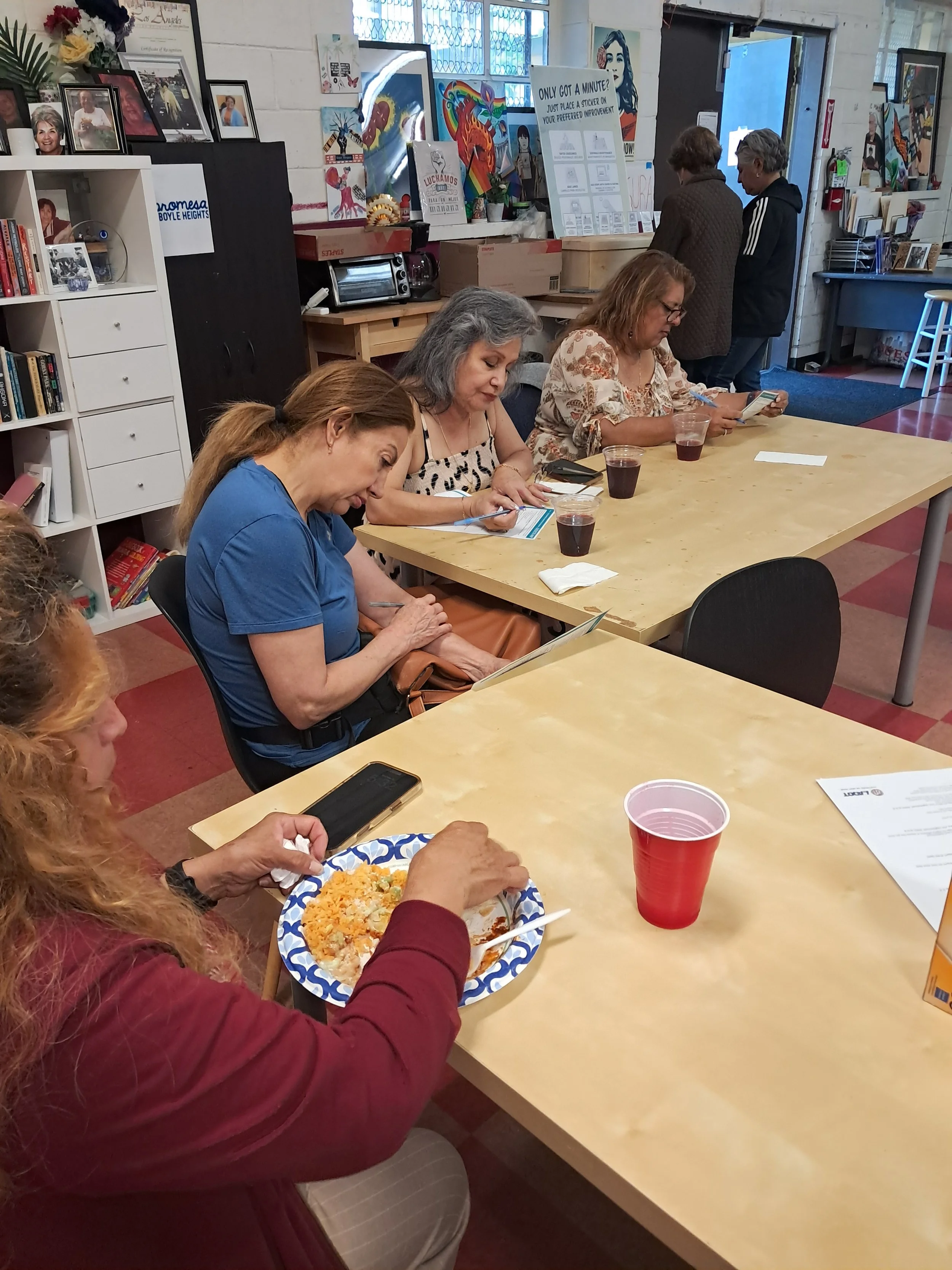
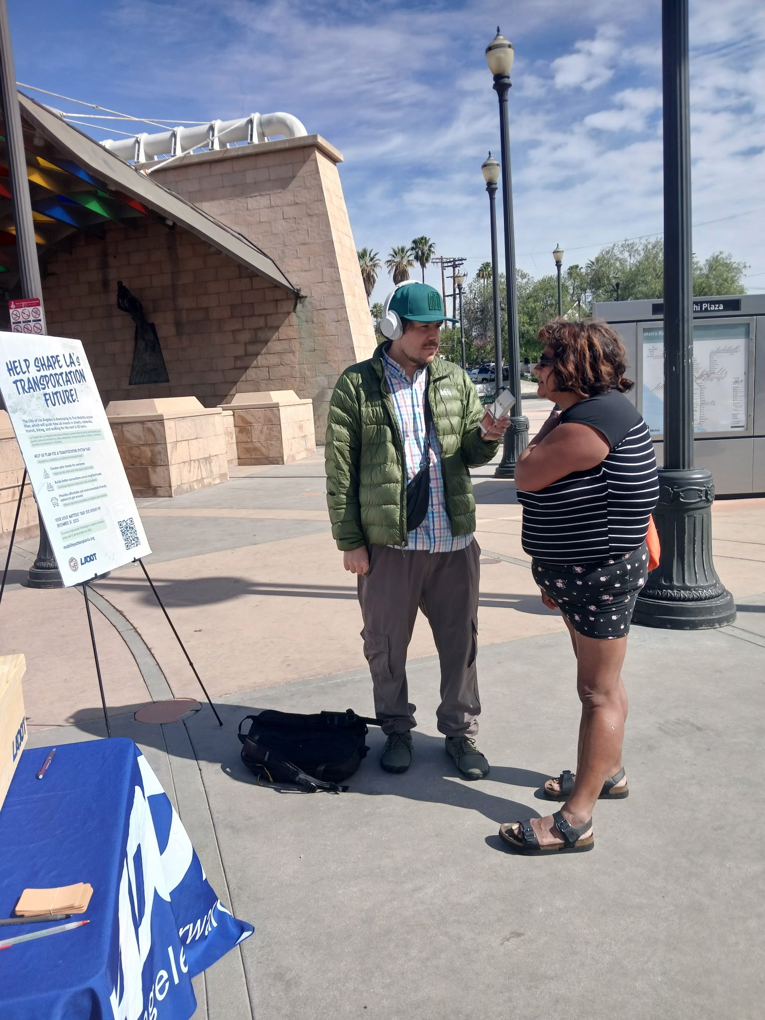
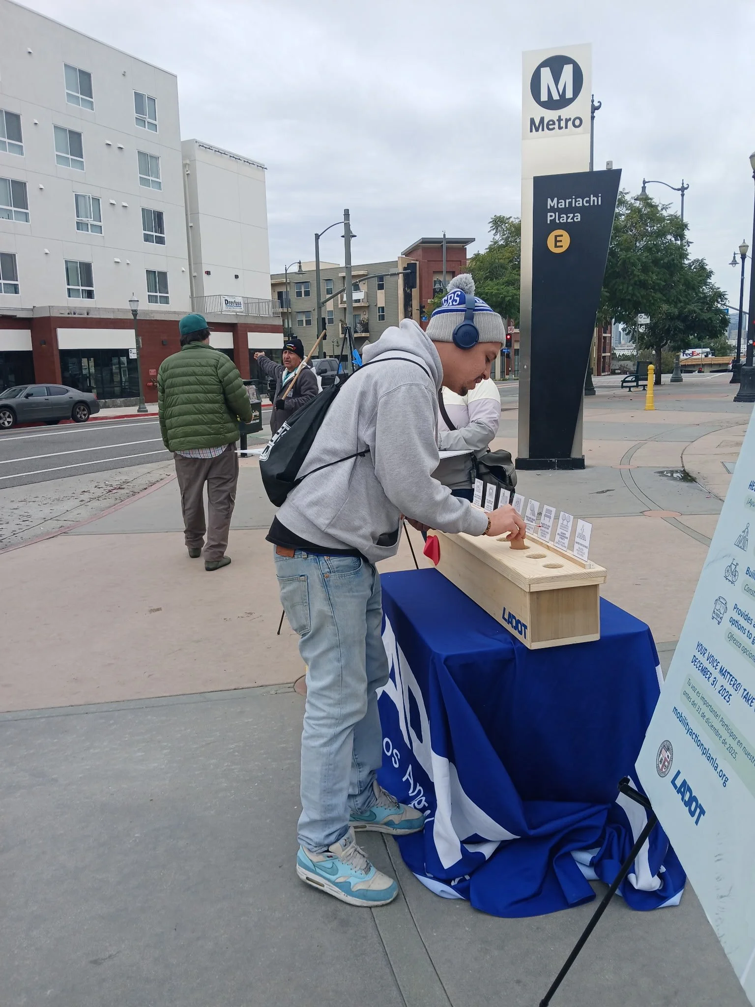
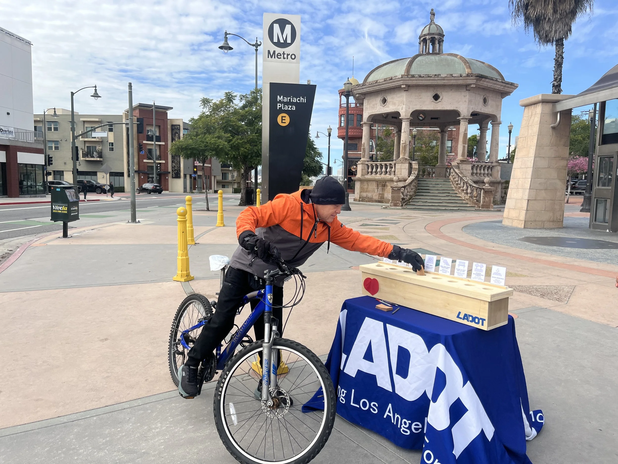
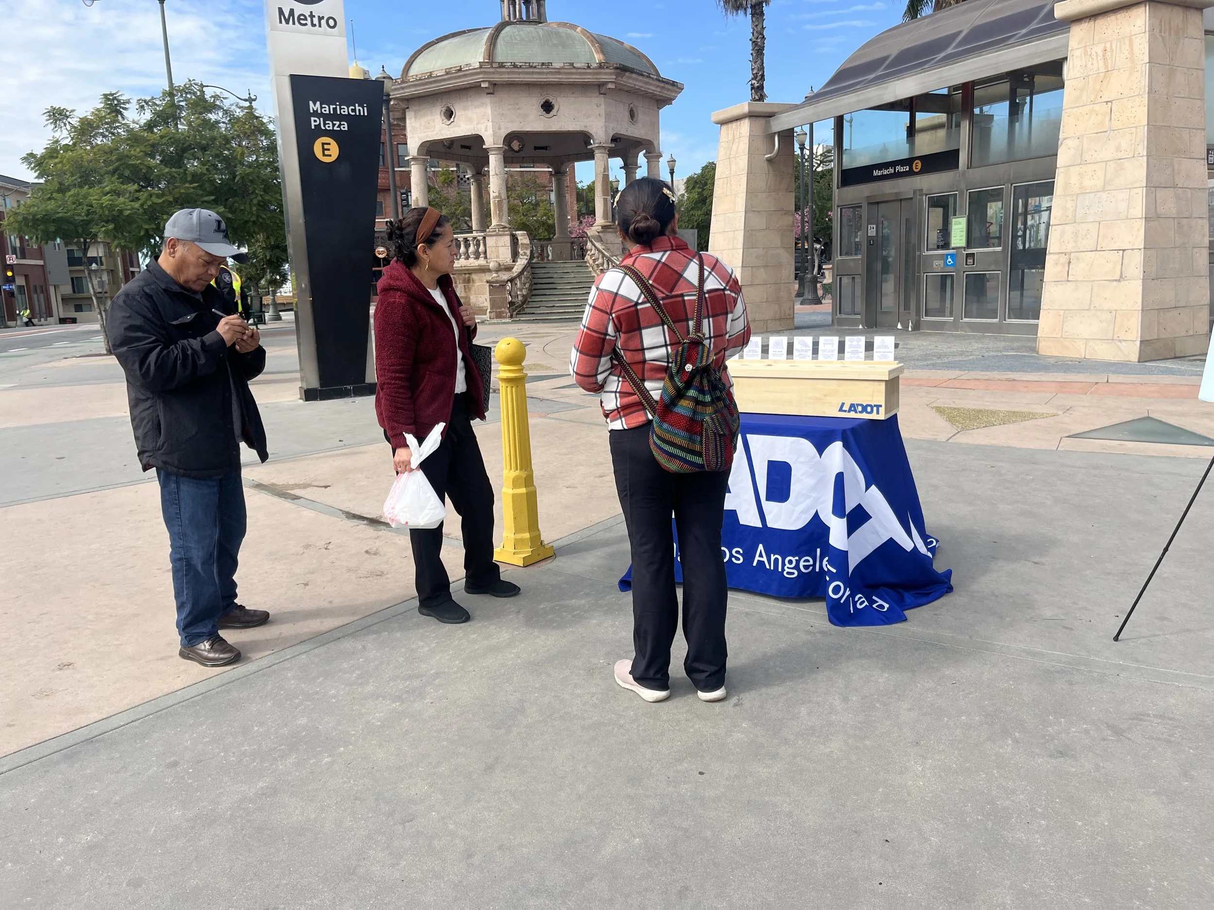
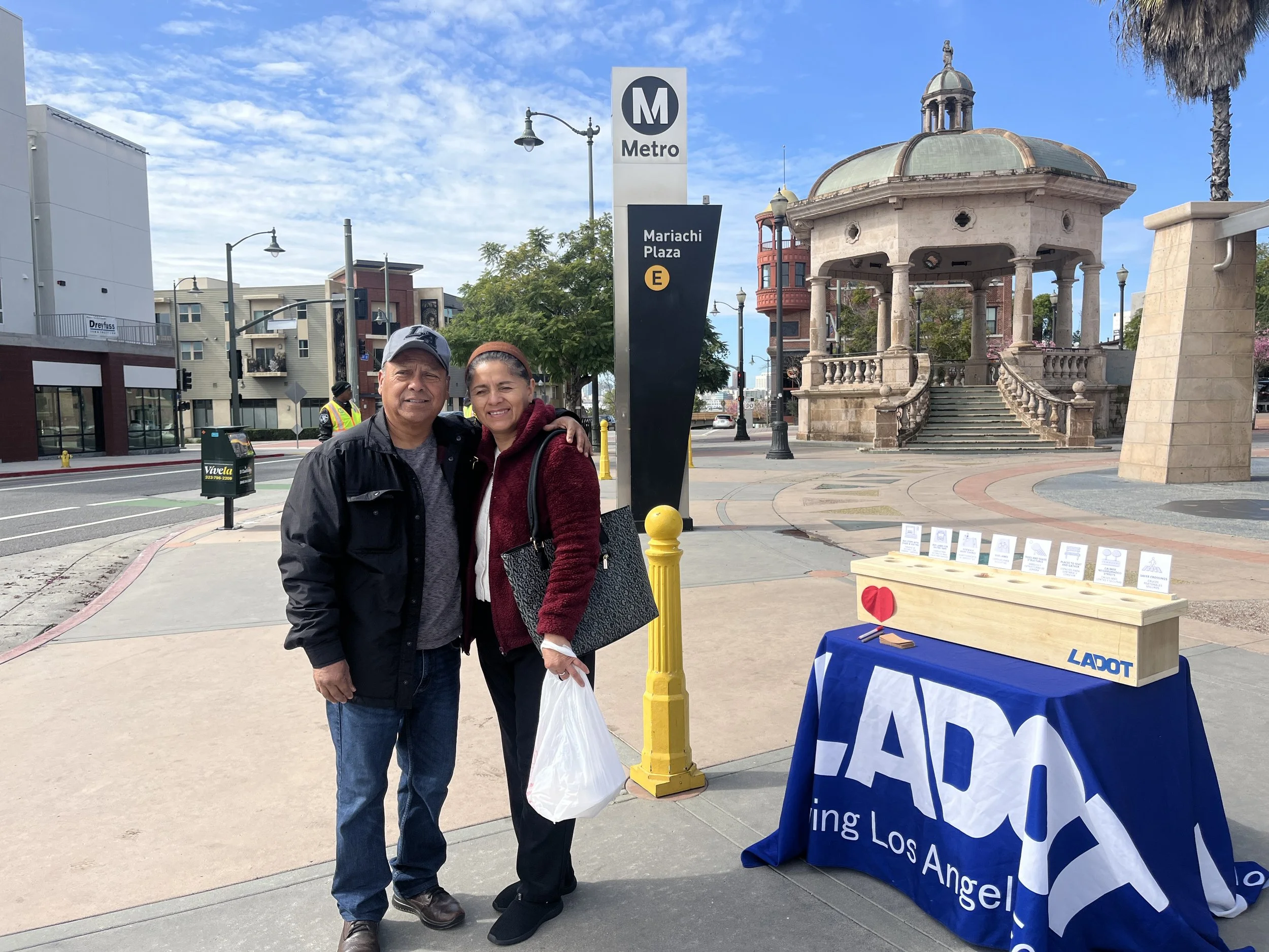
  • location_on Mariachi Plaza
  • location_on Albion Riverside Park
  • location_on Aliso Pico Rec Center
Mobility Investment Priorities
  • directions_bus Transit
  • transfer_within_a_station Sidewalks & Crosswalks
  • directions_bike Bike Enhancements
Top Mobility Challenges
  • directions_walk Limited Infrastructure for Walking, Biking and Transit
  • warning Traffic Safety
  • shield Personal Safety
event Community Engagement Events
  • location_on
    Mariachi Plaza
    Boyle Heights
  • location_on
    Albion Riverside Park
    Lincoln Heights
  • location_on
    Aliso Pico Recreation Center
    Boyle Heights
  • “I would like to see more sidewalk maintenance and trees and shade.”

  • “If only they would put some little benches and an area for shade. At 1st and Soto, which is a very busy crossing, there isn't even information about when the bus will arrive.”

Harbor Area

Harbor Area

Harbor Area

Includes neighborhoods like Wilmington, San Pedro, Harbor City, and Harbor Gateway.

Harbor Area is the smallest Equity Priority Area by population, with just over 200,000 residents, and the least densely populated.

Council District 15
Neighborhood Snapshot
Languages 43% Spanish at home · 41% English only
Race / Ethnicity 59% Hispanic/Latino · 20% White · 10% Asian · 8% Black
Foreign-Born Residents 16% foreign-born non-citizens, 13% from Latin America (citywide: 17%)
Population Density Smallest EPA by population and the least densely populated
$83,584
Median Household Income
15%
Poverty Rate
39
Average Age
59%
Hispanic / Latino
20%
White Residents
16%
Foreign-Born Non-Citizens

Key Takeaways

  • Harbor Area is the smallest Equity Priority Area by population, with just over 200,000 residents, and the least densely populated.
  • Nearly 74% of residents drive alone to work, while just 3% take transit.
  • Harbor Area experiences some of the lowest transit access to jobs of any Equity Priority Area.
  • Despite median household incomes slightly above the citywide average ($83,584 versus $81,571), residents continue to face high transportation cost burdens.
location_on Equity Priority Area: Harbor Area handshake Partner Org: LA Walks

WHO WE HEARD FROM

217

responses from the
Harbor Area

WHERE WE ENGAGED RESIDENTS

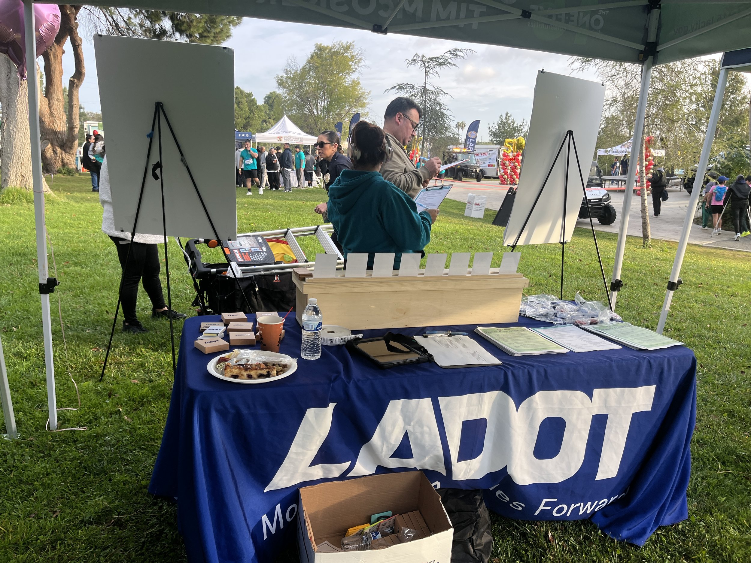
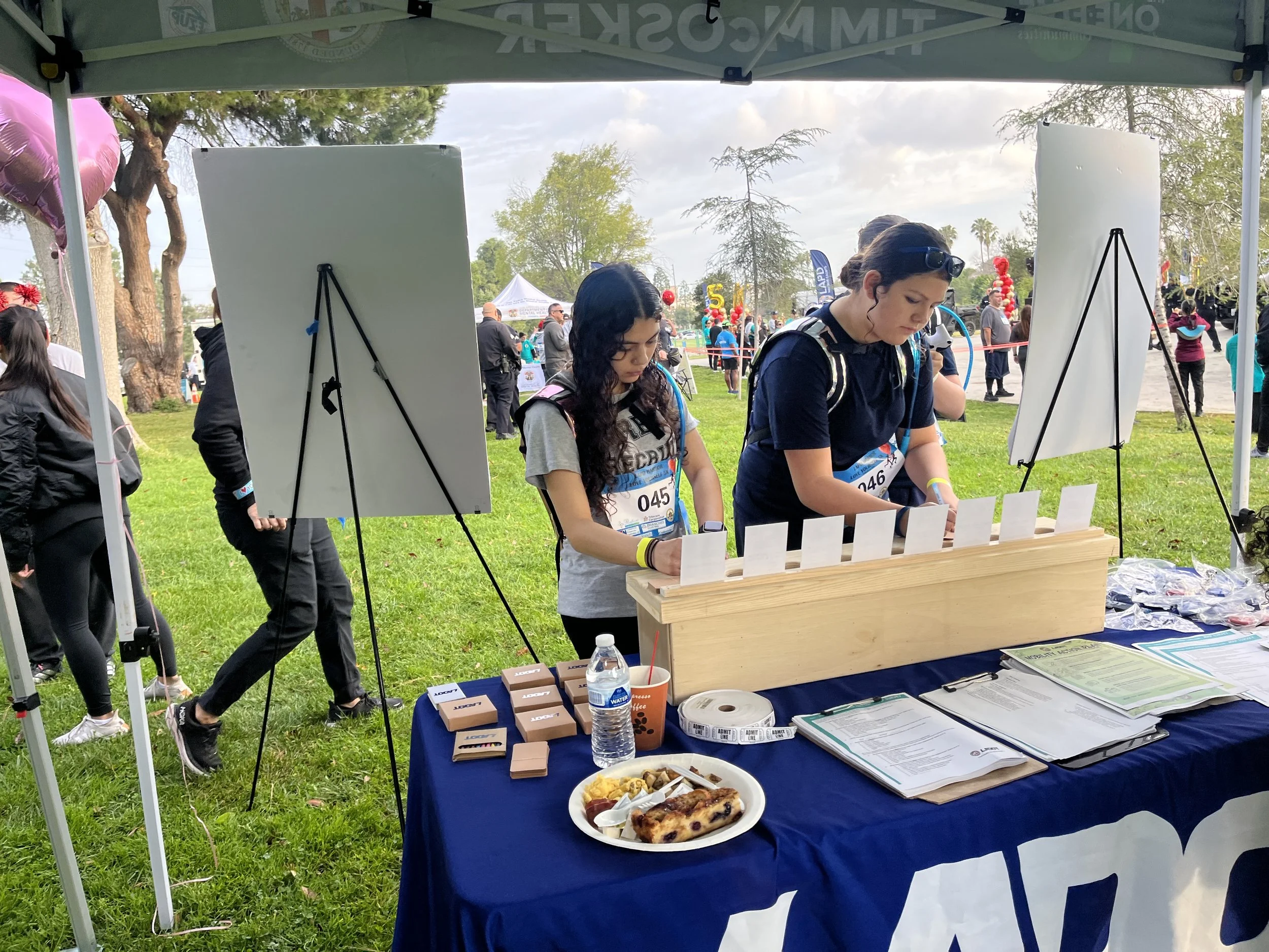
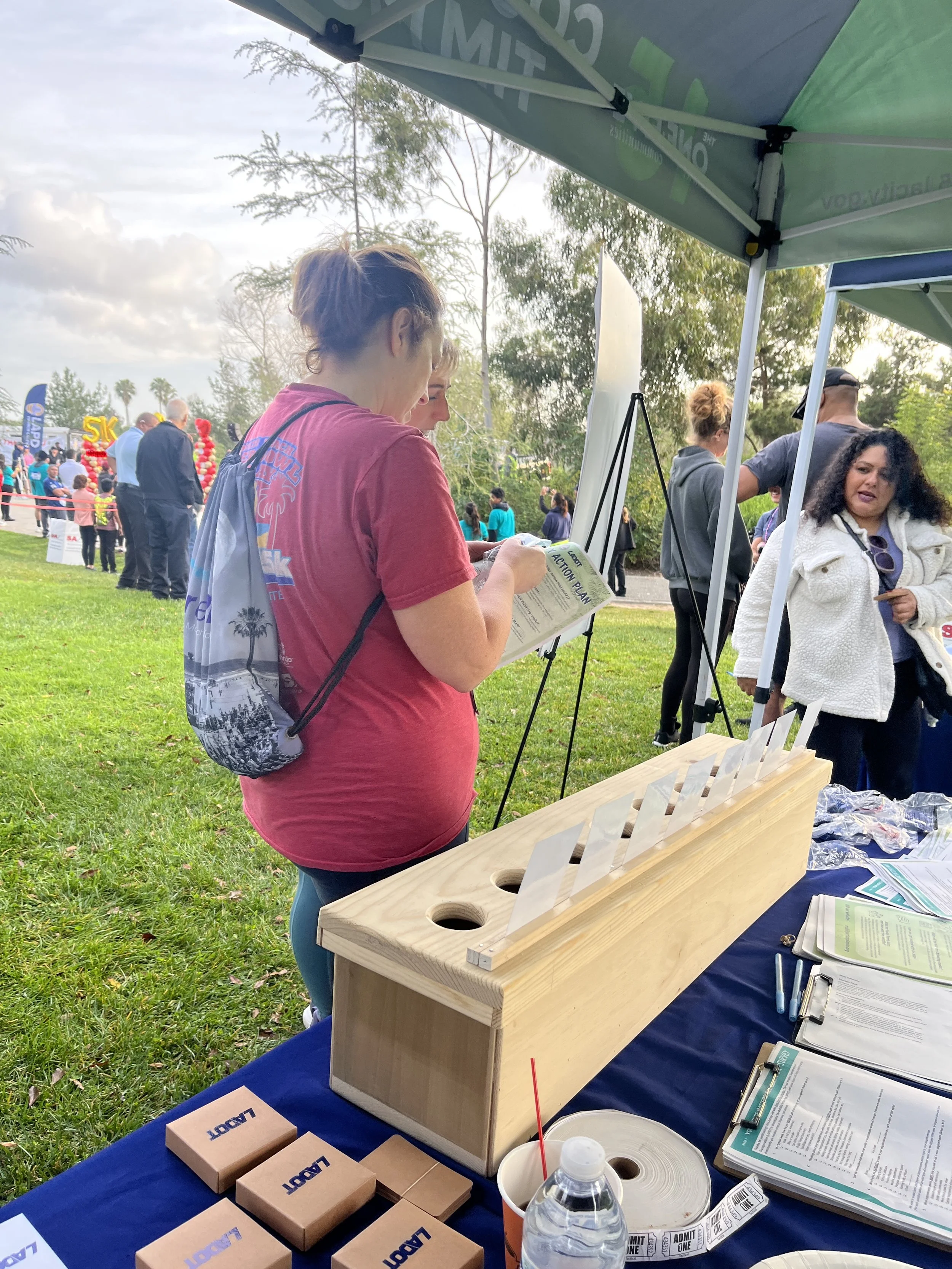
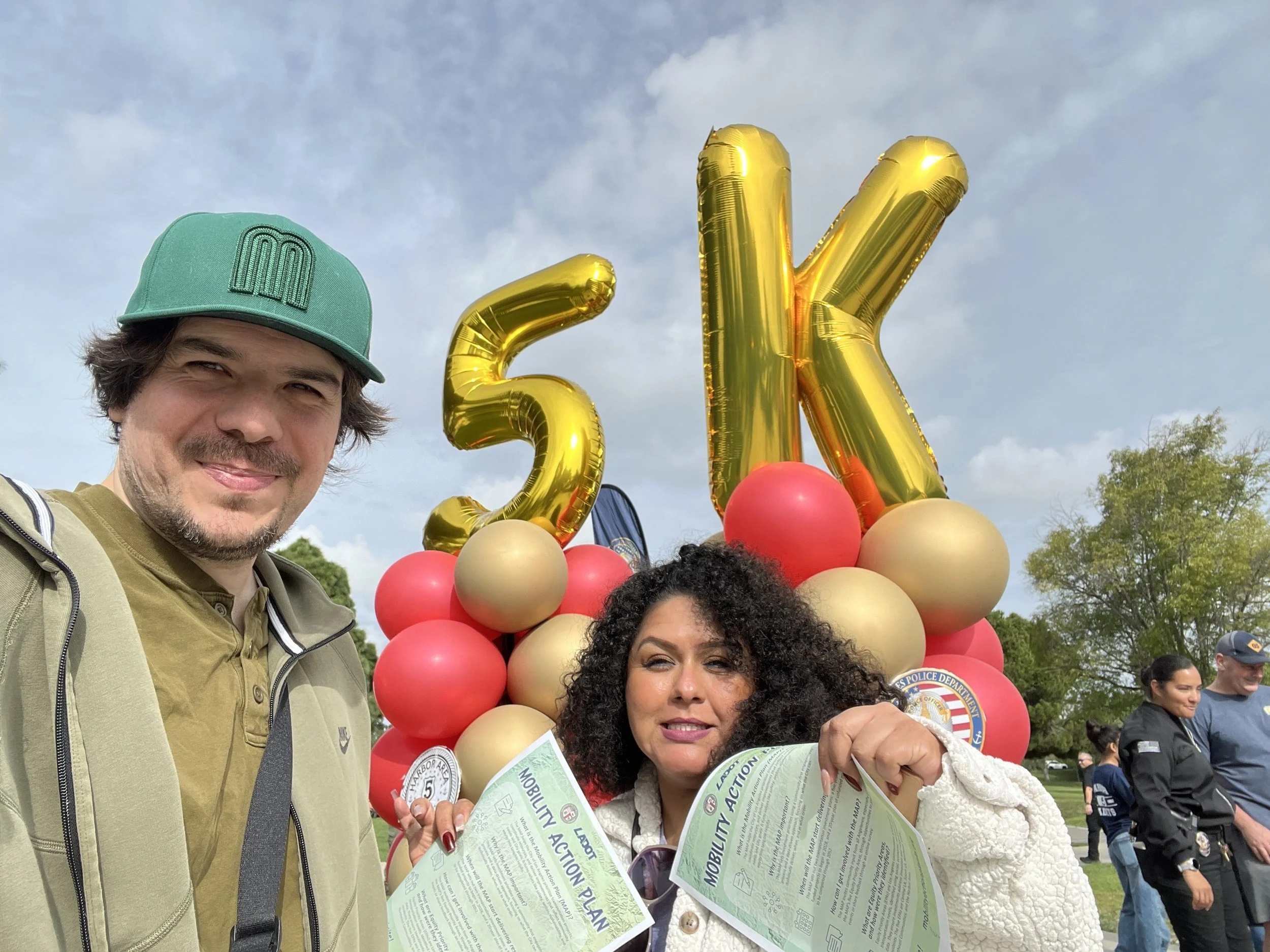
  • location_on Ken Malloy Regional Park 5K
  • location_on LAHC Swap Meet
Mobility Investment Priorities
  • transfer_within_a_station Sidewalks & Crosswalks
  • directions_bus Transit
  • park Shade & Public Space Enhancements
Top Mobility Challenges
  • train Transit Reliability, Personal Safety (Tied)
event Community Engagement Events
  • location_on
    Ken Malloy Regional Park 5K
    Harbor City
  • location_on
    LAHC Swap Meet
    Harbor City / Wilmington
  • “The sidewalks are very bad; they are very broken by the trees, and at my age, one has to watch carefully because you can fall. Also, it gets very hot and there is no shade.”

  • “There are no bike lanes. One has to be very careful among the cars, and sometimes drivers don't respect you. Also, the pavement is very bad; there are many potholes that are dangerous for bike tires.”

  • “The sidewalks are a big problem. There are parts where they are so cracked or uneven that it's dangerous, especially at night because the lighting is very poor on some blocks.”

How this shapes the MAP

SOUTH LA

South LA faces some of the city's greatest mobility and economic challenges, with the highest poverty rate among the Equity Priority Areas. Community feedback highlighted a need for safer streets, improved transit service, dedicated bike infrastructure, better bus stop amenities, shade, seating, and cleaner public spaces. MAP investments can help address historic underinvestment while improving access, safety, and mobility.

CENTRAL LA

As the most densely populated EPA and one of the city's most transit-dependent communities, Central LA residents emphasized the need for accessible sidewalks, safer crossings, improved transit access, traffic safety improvements, and expanded bicycle infrastructure. Investments here can benefit thousands of residents who rely on walking, biking, and transit every day.

NORTHEAST VALLEY

Northeast Valley has the largest population of any EPA but some of the lowest transit access to jobs. Residents identified challenges related to infrequent transit service, missing sidewalks, inadequate bus shelters, and poor pedestrian connectivity. MAP investments can improve mobility by strengthening transit reliability and closing critical infrastructure gaps.

EASTSIDE COMMUNITIES

Eastside residents face high transportation costs and include the highest percentage of disabled residents among the EPAs. Community feedback emphasized sidewalk maintenance, shade, seating, accessibility improvements, safer crossings, and enhanced transit amenities. Investments can create a more comfortable, accessible, and affordable transportation network.

HARBOR AREA

Harbor Area residents highlighted deteriorated sidewalks, limited bicycle infrastructure, poor lighting, and low transit access as major barriers to mobility. MAP investments can support safer walking and biking connections, improved transit reliability, additional shade, better lighting, and enhanced public spaces.

Stay Involved

Help support future transportation improvements. Stay informed, share information with your community, and follow the Mobility Action Plan as it moves toward implementation.